Fast and reliable results
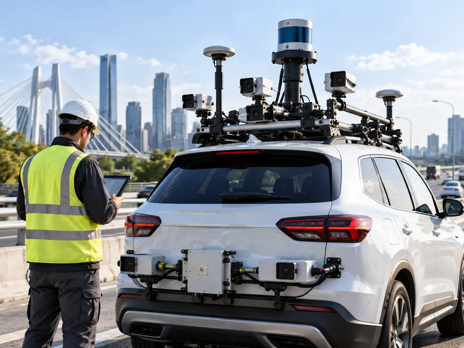
Combining infrared, LiDAR and digital cameras gives far more precise results than relying on just one of them, which is common practice among inspection providers, and delivers them in a time-efficient manner.
Non-destructive data collection, automatic analysis and prioritized maintenance plans.
Our product
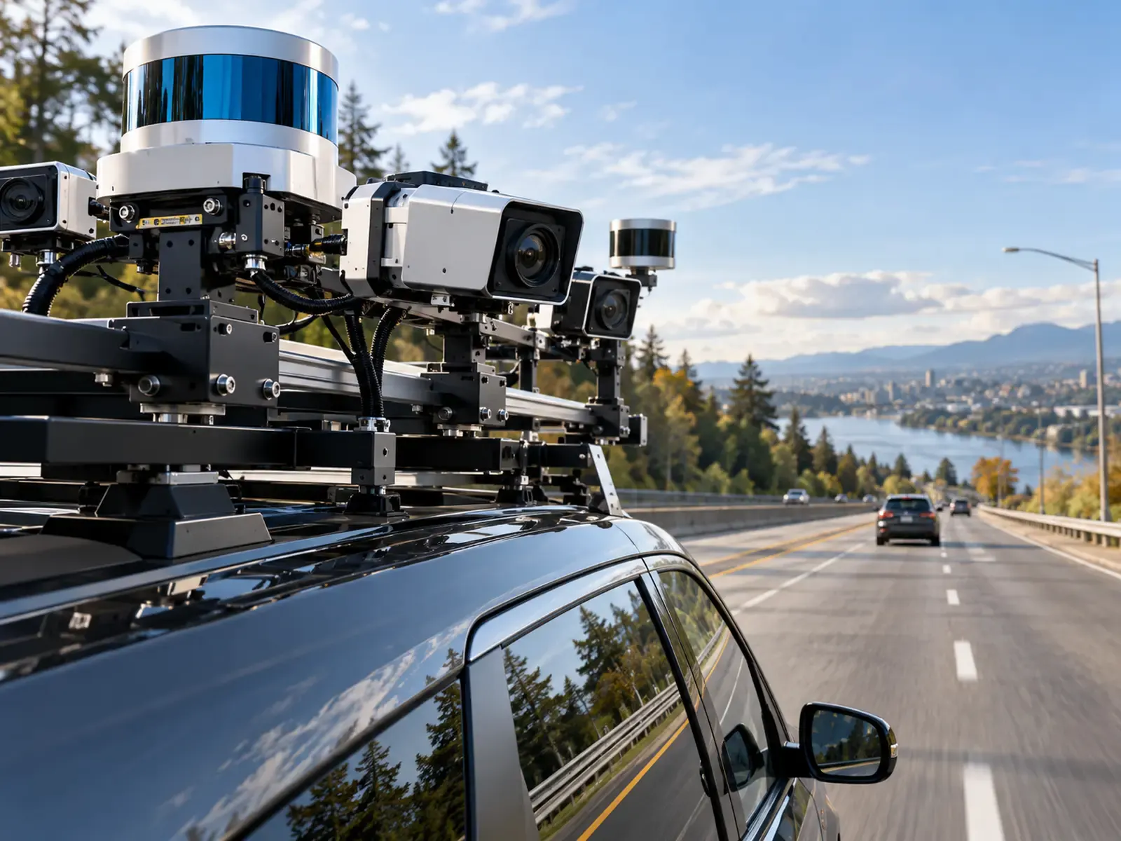
Roadinteli will provide its clients with an innovative road inspection solution that greatly simplifies their maintenance operations. Our primary competitive edge is technology: AI, machine learning and image-processing software combined with a set of highly advanced cameras make the solution more innovative and more accurate.
We will emphasize productive, long-lasting relationships with the organizations we work with, and provide each client with a customizable solution for assessing the state of its roads or the structural health of its bridges.
Why it's different
Roadinteli's competitive edge comes from combining advanced cameras with AI, so road owners get precise results quickly, at lower cost, across many kinds of infrastructure.
Combining infrared, LiDAR and digital cameras gives far more precise results than relying on just one of them, which is common practice among inspection providers, and delivers them in a time-efficient manner.
Accurate distress detection, classification and automatically developed maintenance plans mean maintenance teams can start work without further on-site testing, excavation or other costly, time-consuming methods.
AI, machine learning and image processing work with a set of advanced cameras. Deep-learning image and signal processing provide more reliable outputs than conventional techniques.
One solution for many structures: highways, city roads, streets, sidewalks and bridges, including non-destructive bridge structural health monitoring.
How will it work?
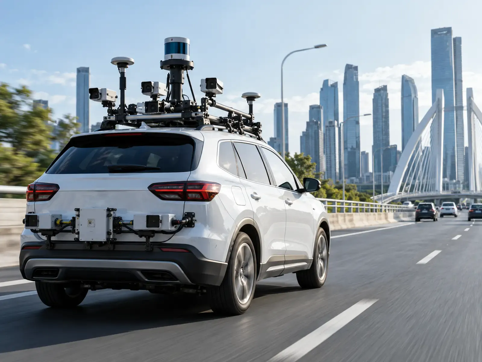
Step 1 of 4
The inspection system combines advanced hardware: a GPS device, an inertial measurement unit (IMU) and three types of camera (digital, infrared and LiDAR) that collect road data, plus the software that processes it.
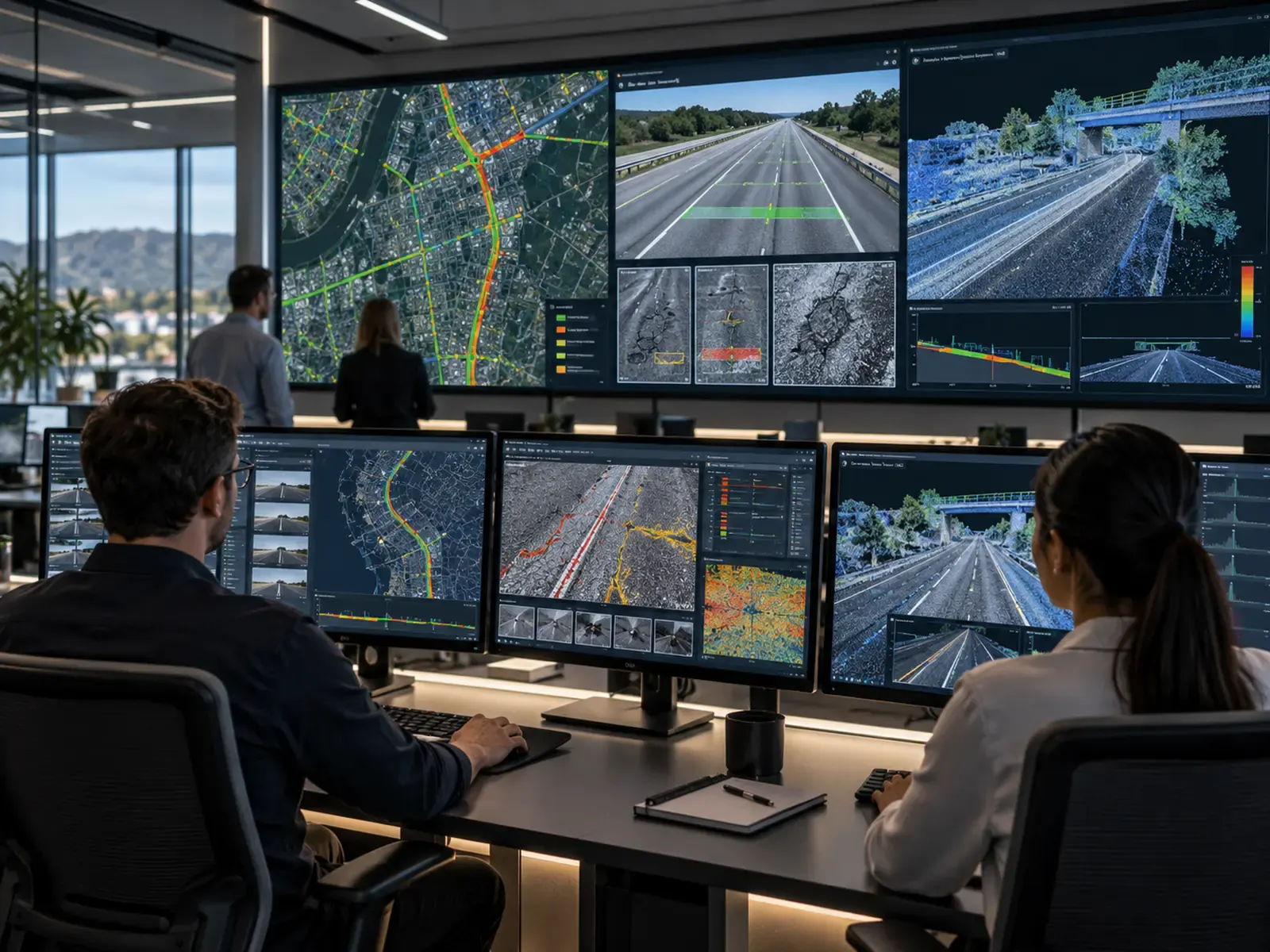
Step 2 of 4
Sophisticated software processes and analyzes all the data collected by the cameras, using artificial intelligence and machine-learning algorithms to provide precise, reliable information about the state of the road.
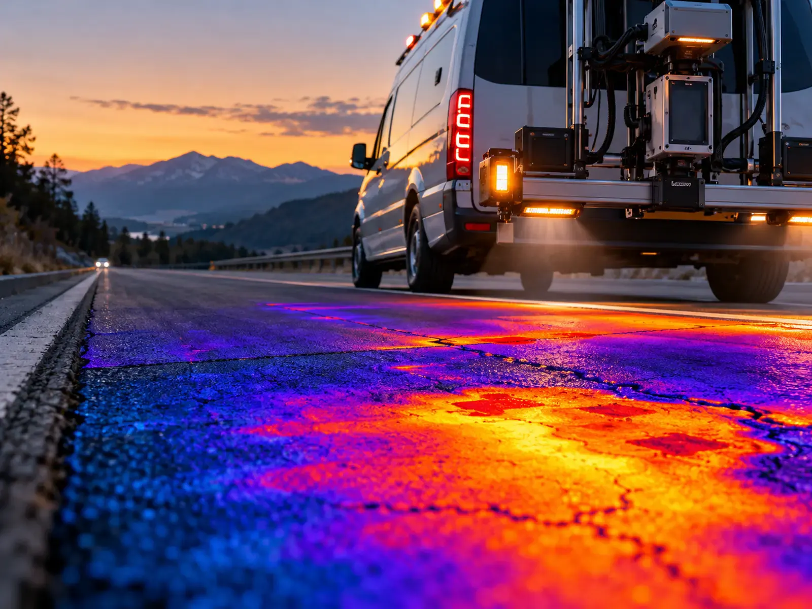
Step 3 of 4
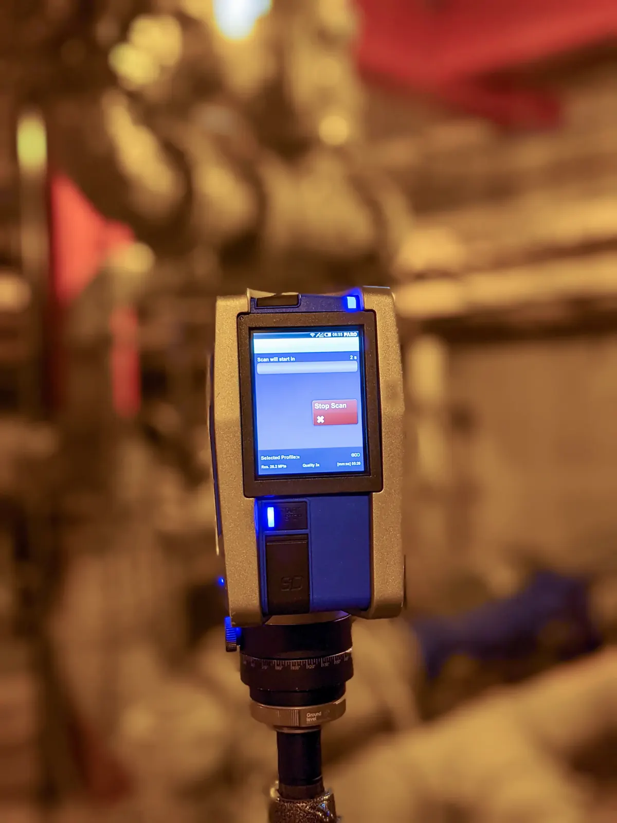
The infrared camera measures the road's thermal energy and locates points where it differs, which indicates defects below the pavement surface and gives clues about their scope. The LiDAR camera uses laser beams to produce three-dimensional images of the road and its defects. The IMU measures the angular rate and acceleration of the imaging system to improve the quality of the output images.

Step 4 of 4
By combining digital, infrared and LiDAR cameras with IMU data, the solution provides highly accurate visual representations of the surveyed roads without physically penetrating their surface. GPS data is used to produce a map of road conditions.
Services
Precise detection of pavement surface defects, with their size and exact location.
Area and depth information on pavement defects, gathered without excavation.
Classification and categorization of defects by type and severity.
Road surface and pavement quality inspection across the surveyed network.
Information to support road construction and repair estimates.
Maintenance work prioritized by client needs and by the severity and magnitude of defects.
Road pavement quality estimates for large-scale customers, delivered via API or as an added service.
Structural health monitoring of bridges through infrared data analysis.
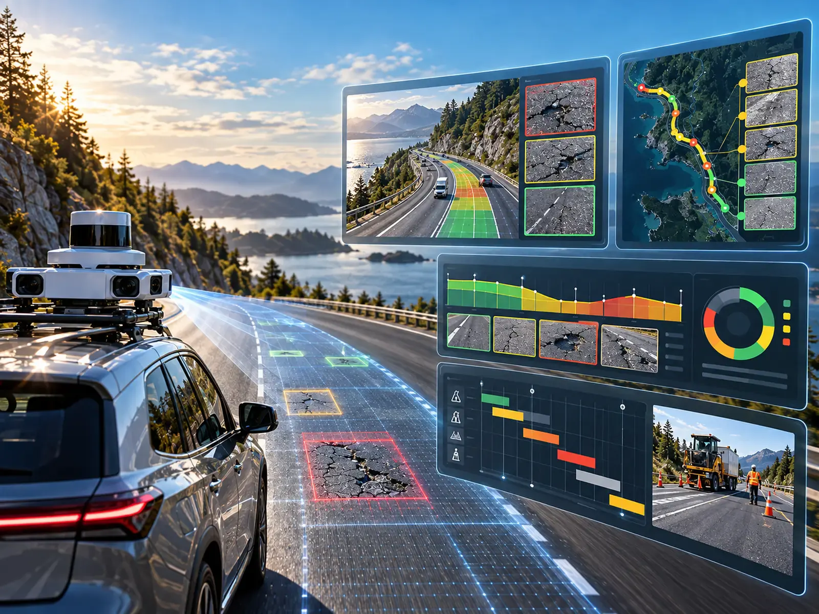
Results you can act on
Roadinteli's smart application will turn inspection data into decisions: calculating repair expenses, flagging future maintenance needs, suggesting actions and building maintenance maps and schedules.
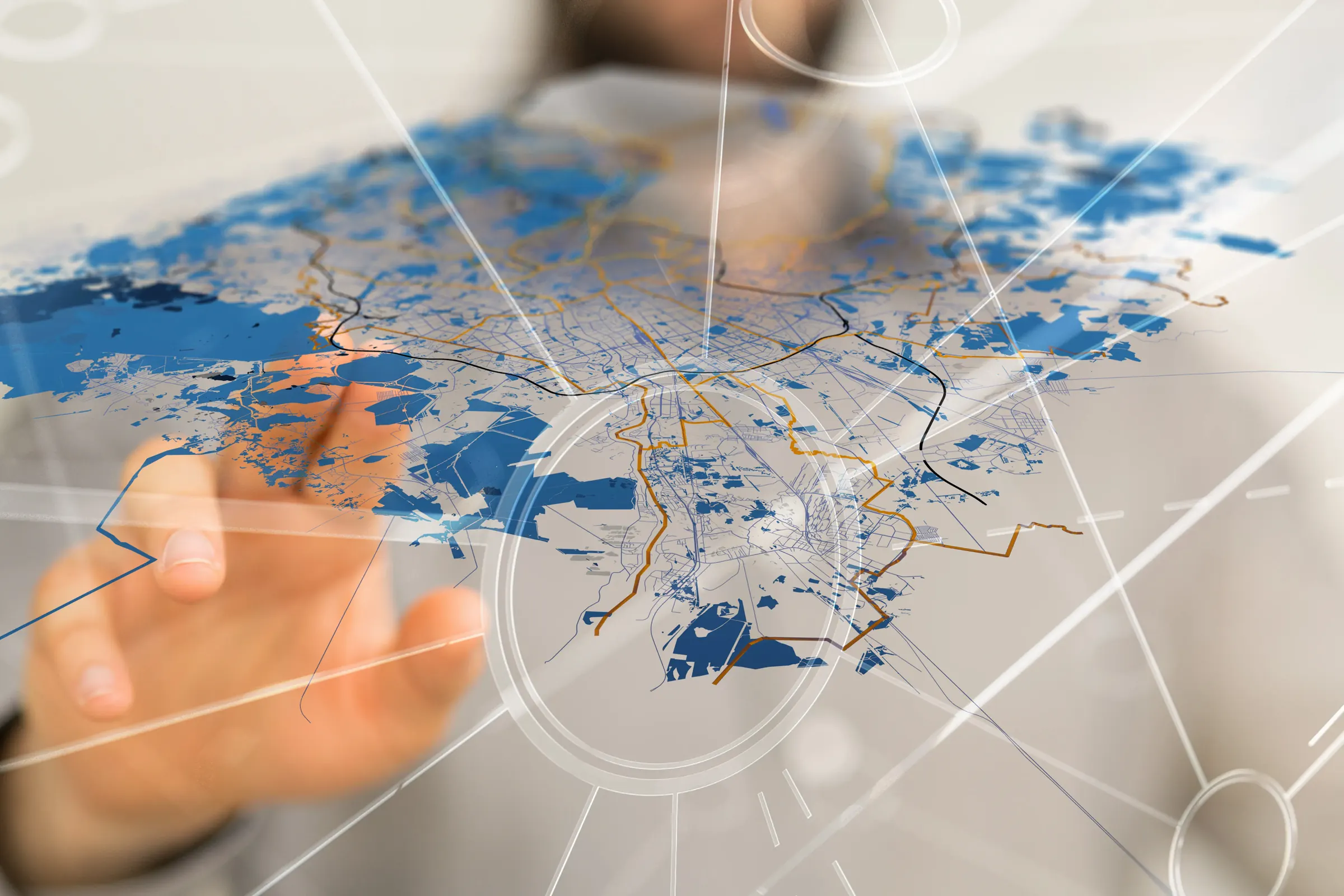
Results will be presented as maps with numerical and written data, in a professional but easy-to-understand format on the Roadinteli application and website, so municipalities and private companies can interpret and manage them easily.
Map output of road conditions, built from GPS data
Repair cost and maintenance-need estimates
Prioritized maintenance plans and schedules
Pavement quality data via API for large-scale customers
Revolutionizing road inspections