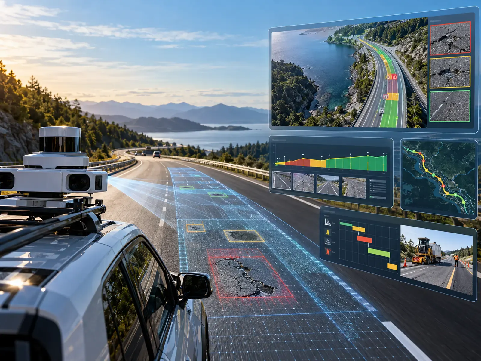
Road inspection is moving from periodic observation toward more data-rich assessment. That shift matters because a pavement-management decision is only as good as the condition information behind it. Traditional visual surveys remain important, but FHWA notes that human observation of pavement distress can be labour-intensive, variable and hazardous for personnel performing evaluations around road traffic. Vehicle-mounted imaging and automated analysis offer another model: collect road data at scale, identify visible distress, locate it and turn the results into information that maintenance teams can use.
What AI actually does in a road-inspection workflow
In a practical inspection system, artificial intelligence should be viewed as a tool for repetitive visual-analysis tasks rather than as a replacement for engineering judgment. A camera can capture large volumes of roadway imagery; computer-vision models can then screen those images for patterns associated with cracks, potholes, patches and other visible deterioration.
Research on real road imagery has demonstrated this potential. A Montreal case study trained convolutional neural networks to classify multiple pavement-distress types, while other original research has used deep-learning object detection to both classify distress and locate affected areas in images. The results support automated screening, but they also show that performance varies by defect type, dataset and method—an important reason not to present AI as infallible.
The useful outcome is not merely a label on an image. For an asset manager, the better output is a structured record: what type of distress is present, where it is located, how extensive it appears to be, and how the observation relates to the rest of the network. That information can support pavement-management, GIS and maintenance-planning workflows.
Why consistency matters as much as speed
Fast data collection is attractive, but consistency can be just as important operationally. FHWA guidance emphasizes that effective pavement management depends on reliable, accurate and complete condition data, because those observations inform performance models and decisions ranging from maintenance through rehabilitation and reconstruction.
Automated imaging can help make repeated assessments more systematic by applying a defined analytical process across large datasets. Three-dimensional imaging adds geometric information that conventional two-dimensional images cannot provide; FHWA describes 3D pavement systems that measure depth and surface geometry as part of pavement-distress evaluation.
The goal, however, should not be “automation at any cost.” A credible program still needs equipment calibration, data-quality checks, representative training data, clear defect definitions and a route for expert review when observations are ambiguous.
From defect detection to maintenance prioritization
Finding a pothole is useful. Knowing which problems should be addressed first is more valuable.
To move from detection to prioritization, an agency needs context. Defect extent and severity, road classification, traffic exposure, safety relevance, maintenance history and available budget can all influence the appropriate response. Condition data therefore becomes most valuable when it feeds an established pavement- or asset-management process rather than sitting in an isolated inspection database. FHWA's pavement-management guidance similarly treats condition information as an input to actions and investment decisions.
A modern workflow can associate georeferenced observations with road segments and maintenance rules, allowing teams to compare needs using a more consistent evidence base. Instead of relying solely on complaints or a fixed inspection calendar, condition trends can help indicate which locations deserve review first.
Where multi-sensor data can add value
Visible-light cameras are well suited to documenting surface appearance, but not every pavement problem is fully described by a colour image. Three-dimensional imaging provides geometry and depth information. Infrared thermography can reveal thermal anomalies associated with certain forms of delamination and debonding under appropriate survey conditions.
The key principle is sensor complementarity. Each measurement method has strengths, constraints and environmental sensitivities. Adding more sensors does not automatically create a better maintenance decision; the value comes from collecting relevant measurements, validating them and translating them into information that road owners can act on.
A better model for network-level inspection
For municipalities, transportation agencies, road operators and large private networks, the long-term opportunity is to make inspection more frequent, comparable and easier to connect with maintenance planning. AI can scale parts of the analysis, but the useful system is the one that produces trustworthy information rather than simply the largest volume of data.
Roadinteli is developing a non-invasive inspection approach that combines digital, infrared and LiDAR sensing with GPS, inertial measurement, AI and machine learning. That direction matches the broader movement toward automated, georeferenced, multi-sensor pavement assessment described in transportation research and FHWA technology resources.
For road owners, the practical question is straightforward: Can condition information arrive soon enough, consistently enough and in a usable enough format to improve the next maintenance decision? That is the standard worth designing around.
Sources
- Federal Highway Administration — 2D and 3D Imaging Technology (opens in a new tab)
- FHWA — Practical Guide for Quality Management of Pavement Condition Data Collection (opens in a new tab)
- International Journal of Transportation Science and Technology — Pavement distress detection using a CNN: a case study in Montreal (opens in a new tab)
- Journal of Traffic and Transportation Engineering — Automated classification and detection of multiple pavement distress images based on deep learning (opens in a new tab)