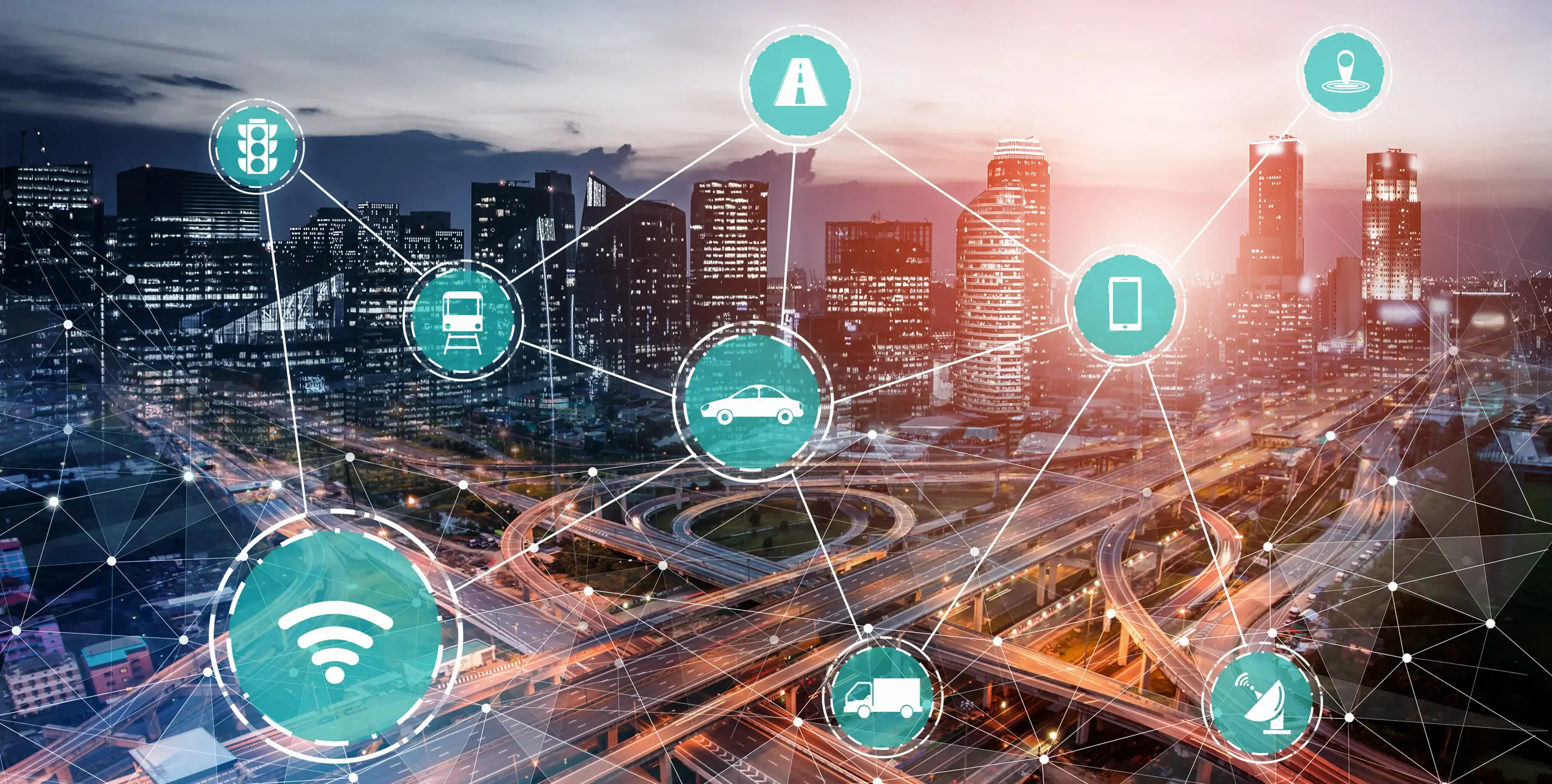
Vehicles travelling through a road network can generate useful operational signals. Connected-vehicle probe data may include position, speed, motion, braking, traction-control activity and other onboard observations. FHWA has examined how such data can contribute to transportation analysis, road-weather monitoring and maintenance decision support.
For road owners, that creates an intriguing possibility: use connected vehicles and fleet telematics as an additional layer of infrastructure intelligence.
This does not eliminate the need for dedicated pavement inspection. Instead, frequent vehicle observations may help identify where conditions appear to be changing and where closer inspection is justified.
From fleet data to road-condition signals
Transportation agencies have explored probe data for detecting roadway conditions such as slippery pavement, pavement temperature and weather-related surface states. FHWA defines probe data broadly around vehicle position, motion, time and additional vehicle-generated signals.
For pavement monitoring, vehicle response can also contain information about ride quality. A vehicle travelling over an uneven surface experiences motion that onboard sensors may capture. When enough observations are aggregated at the same locations, analysts can search for repeatable patterns rather than assuming that one acceleration event proves the existence of a road defect.
Research has increasingly examined whether those measurements can be related to established pavement-condition metrics.
Why crowdsourcing is attractive
Traditional network-level condition surveys are periodic. A working fleet may travel many of the same roads every day.
Municipal vehicles, buses, maintenance fleets, delivery vehicles and other connected assets can therefore create a higher-frequency stream of observations without sending a dedicated pavement-survey vehicle over every route every day.
A 2026 Transportation Research Record study compared crowdsourced connected-vehicle ride data with calibrated inertial-profiler measurements. It found general agreement on asphalt and concrete sections but significant discrepancies on seal-coat sections—a useful reminder that pavement type and measurement methodology can materially affect the result.
Earlier original research comparing production connected-vehicle data with inertial-profiler measurements also found meaningful correlation and described connected vehicles as promising for network-level pavement-quality monitoring, while noting that formal standards for using such data were not yet established.
In other words, the technology is promising precisely because it can expand coverage—but expanded coverage does not remove the need for validation.
Use telematics as a screening layer
A practical near-term model is to treat telematics as a screening and change-detection layer, not as an automatic replacement for engineering-grade surveys.
Imagine that a road segment normally produces stable ride signals. Over several days, many fleet vehicles begin recording unusually strong vertical responses at the same location. That pattern could trigger review of recent imagery, a targeted field visit or a higher-resolution pavement survey.
Dedicated inspection can then provide more detailed evidence for defect classification, geometric measurement or other engineering assessment.
This layered approach reflects the different strengths of the data sources: fleet data offers frequency, while purpose-built road inspection can provide controlled, high-resolution condition evidence.
Data governance matters
A connected-road program also needs rules for data quality, cybersecurity, privacy, retention and access. Transport Canada describes ITS as combinations of communications technologies, cameras and advanced analytics used to make transportation safer and more efficient, and it provides dedicated guidance around road-infrastructure cybersecurity.
Canada's connected and automated vehicle framework likewise treats safety, security, testing and ongoing evaluation as core elements of connected-mobility deployment.
For infrastructure applications, a sensible architecture separates raw telemetry from the maintenance decision. Data can be aggregated and quality-checked before recurring events become actionable road-condition signals.
Toward a layered road-intelligence model
The future of pavement monitoring is likely to involve several layers rather than one perfect data source.
Periodic high-resolution inspection can establish a reliable condition baseline. Connected vehicles can contribute frequent network signals. Weather, traffic, maintenance history and service reports can add context. Analytics can help identify which locations merit attention.
This matters to Roadinteli because our core work is already georeferenced, data-driven road inspection.
To be clear, telematics does not replace dedicated inspection. Vehicles already moving through a network can become another source of evidence, while validated pavement assessment remains central to maintenance planning.
For agencies and fleet operators, that is a practical vision of intelligent transportation: turn ordinary network activity into useful signals, then direct the right inspection resource to the right place.
Sources
- Transport Canada — Intelligent Transportation Systems (opens in a new tab)
- FHWA — Data-Driven 21st Century Transportation System Analyses, Module 3 (opens in a new tab)
- FHWA — Weather Applications and Products Enabled Through VII (opens in a new tab)
- Transportation Research Record (TRID) — Comparison of Pavement Roughness Indicators from Traditional Inertial Profilers and Emerging Connected Vehicle Sensors (opens in a new tab)
- Sensors (MDPI) — Pavement Quality Evaluation Using Connected Vehicle Data (opens in a new tab)
- Transport Canada — Canada's Safety Framework for Connected and Automated Vehicles 2.0 (opens in a new tab)